I kind of assumed most people working on Google maps are car first people, and the transit stuff was a second class concern. This isn’t based on any facts, just a gut feeling.
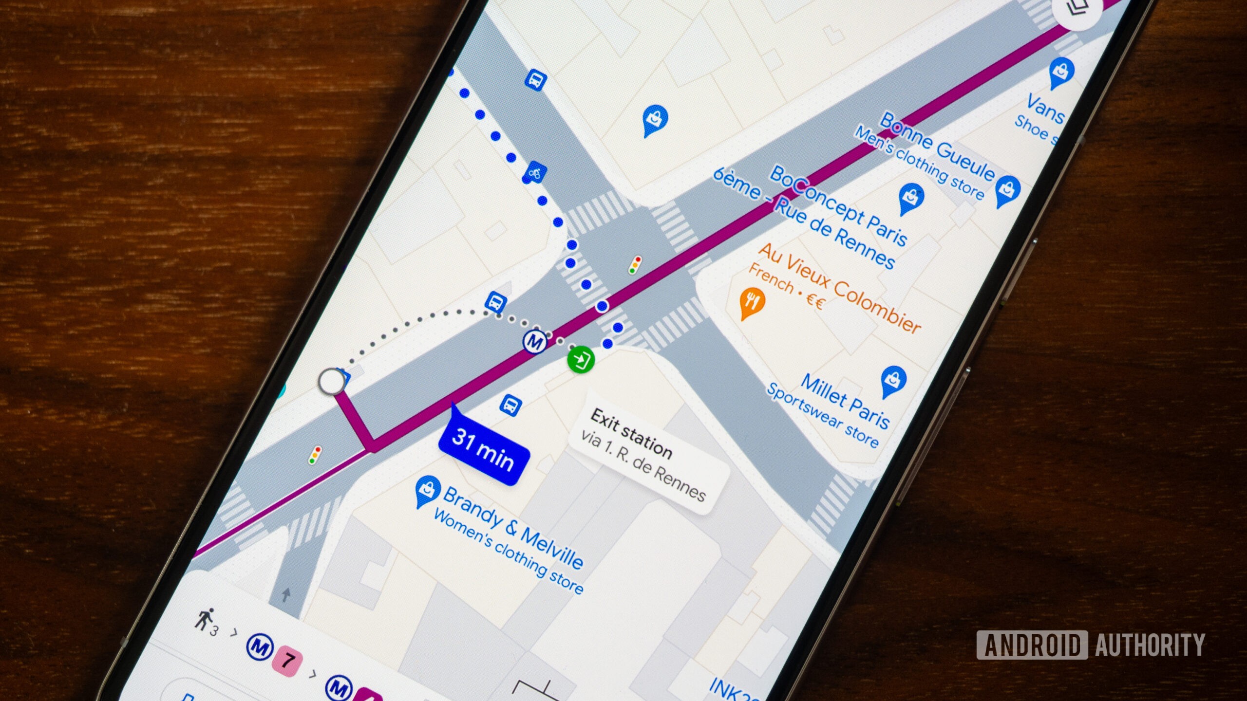
The most annoying things for me are how it’s kind of hard when looking at the map to see what stops are where. Like, I have to fuck with the zoom to get it to show me DeKalb Ave is there, and then it doesn’t even tell me which trains stop there.
And forget about getting any useful bus info. I know generally where the b41 goes. Why isn’t it easy to see on the map?
Well, yeah, just look at the latest Google Maps update. The new maps layer overemphasizes highways with high contrast. Even places like Amsterdam. Doesn’t matter zoom level. If you are not getting around by a car, everything is low contrast shit.
Weirder still is that they emphasized highways but always make people drive through small residential neighborhoods, back alleys, and parking lots to save a minute or two.
I need a maps alternative that focuses on keeping me on roads meant for actual through traffic.
Yes, it’s so freaking annoying that I’ve to constantly fiddle with zoom levels just because I want my fucking map to show me the names of the stations and streets. I guess the technology isn’t there yet. But somehow, Google has figured out how to constantly display the names of businesses which have paid them.
Anyway, I’ve been using more and more of Open Street Maps with the Organic Maps app, and it’s a refreshing experience
I can kind of see why they might be like “if you’re offline we can’t see the transit schedule”, but walking doesn’t have a schedule! They could probably cache the schedule to at least make a guess, too. Or at least show what stations are near the destination.


I kind of assumed most people working on Google maps are car first people, and the transit stuff was a second class concern. This isn’t based on any facts, just a gut feeling.
The most annoying things for me are how it’s kind of hard when looking at the map to see what stops are where. Like, I have to fuck with the zoom to get it to show me DeKalb Ave is there, and then it doesn’t even tell me which trains stop there.
And forget about getting any useful bus info. I know generally where the b41 goes. Why isn’t it easy to see on the map?
Well, yeah, just look at the latest Google Maps update. The new maps layer overemphasizes highways with high contrast. Even places like Amsterdam. Doesn’t matter zoom level. If you are not getting around by a car, everything is low contrast shit.
Weirder still is that they emphasized highways but always make people drive through small residential neighborhoods, back alleys, and parking lots to save a minute or two.
I need a maps alternative that focuses on keeping me on roads meant for actual through traffic.
OSMand tends to choose a much more intuitive route.
Yes, it’s so freaking annoying that I’ve to constantly fiddle with zoom levels just because I want my fucking map to show me the names of the stations and streets. I guess the technology isn’t there yet. But somehow, Google has figured out how to constantly display the names of businesses which have paid them.
Anyway, I’ve been using more and more of Open Street Maps with the Organic Maps app, and it’s a refreshing experience
Is your feeling based on the fact that you can only get driving directions offline (not even walking!)?
I never noticed that before! That’s frustrating.
I can kind of see why they might be like “if you’re offline we can’t see the transit schedule”, but walking doesn’t have a schedule! They could probably cache the schedule to at least make a guess, too. Or at least show what stations are near the destination.